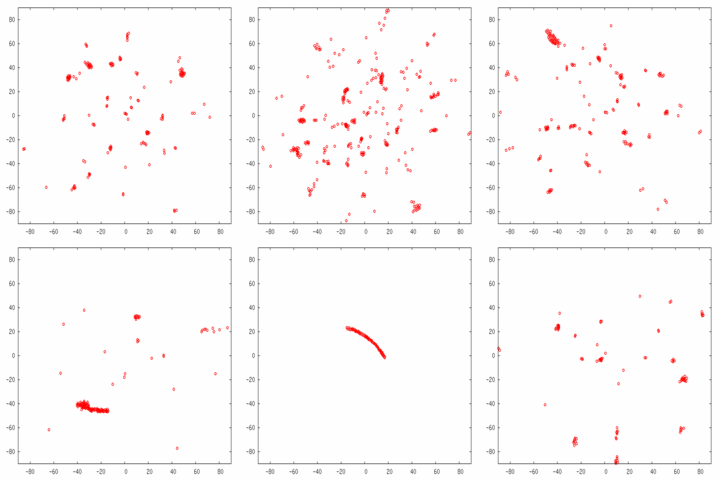
Animated GIF of Coordinates of Broadband ‘Strikes’
Posted November 23rd, 2008 by Russ Childers One of the computers crunching Argus data is tasked with looking for the broadband sources once a second, using 0.2-seconds-worth of data. The Sun shows up nicely in this integration period, provided it is above 25 degrees altitude. Satellites also show up nicely. In the GIF animation, you can see the Sun swooping through the sky, from left to right, across the bottom half of the animation. When the sun is down, you see noise splattered across the sky.
The animation has about 17 days of the sun, without too much additional events. However, at about the 18th day, I changed the frequency of the Argus receivers and suddenly GPS satellites started showing up, in their characteristic 12-hour orbits. These are the trails which appear to be ’springing’ across the sky.
The time span is speeded up so that each day takes about 2 seconds. The animation repeats without pause.


January 7th, 2022 at 10:56 pm
2enunciation…
…